-
AA Route maps
When I cleared my family home over fifteen years ago, I obviously identified these as interesting tho I did nothing more with them at the time than put them on a bookshelf. I recently had a sort-out and came across them again, and decided that at the very least I should write a blog post about them. The more I’ve looked at them since - especially the 1960s ones - the more I’ve come to admire them. They’re simply produced, but there’s a real elegance to them.
The 1960s version
Based on the information on the form at the front of the pack, an AA member could request a prepared route map for their planned journey. The route chosen, by default, would be the quickest route available, but it seems that a scenic route, or a route suitable for a caravan could be requested. It also allows for a single, straightforward journey as well as requesting a tour of an area:
say the Lake District, or Scotland, or Devon and Cornwall, fill in Section B, mentioning any places you particularly want to visit.
There’s a certain charm in imagining how a tour was put together by the staff at the AA office.
Each sheet gives full written directions down the left, distances in miles between each instruction, and a simplified schematic strip map down the right-hand edge. Each has a different copyright date so there must have been some process where new sections were issued - I like that I can infer some form of process.
When a route passed through a town of any size, the sheet folded out into a proper street plan with a numbered key to the sights.
And my favourite piece of design: to come home again, you simply turned the whole pack over and read it from the back page forwards.
The “Hull - Milford Haven” and both “Lochgair - Oban” routes include a page listing “Important Events”. This includes the FA Cup Final giving the date as Sat, May 1. This allows me to date these routes to 1965 which is rather pleasing.
Annotations
Having flicked through all of these routes, I spotted some annotations, all of which must have been added by the AA before being posted. Things like a starting point partway through the page
or a different end point
or a bypass available
or an AA phone box removed
The 1980s version
By 1981 the written turn-by-turn instructions and the hand-drawn strip maps have gone. Instead it’s almost pure motorway, navigated by junction number.
The notes on these pages are in my Mum’s handwriting. Notes about times, and with each junction ticked off. Also a little marker of where Lancashire was reached on the journey - between Junctions 22 and 21. So while the general layout is far less pleasing, that little link to my Mum is lovely.
The “Here is your route” page includes, somewhat ominously:
Members are warned that some signposting information quoted on the route sheets may be missing or disfigured due to vandalism.
And now?
When I started driving I had a Road Atlas in the car. Soon we were able to print our own route maps. And now, we just plug in a postcode into a sat nav and head off. We rarely do as much planning or give as much forethought as these suggest.
For fun I plugged some of these journeys into Google Maps. The smaller journeys that use minor roads have barely changed - Lochgair to Oban was 44.75 miles in 1965, and is 44.8 miles now. The longer ones are a different story. The Hull to Milford Haven route, for instance, has increased from 322.5 miles in 1965 to 355 miles - the quickest route now presumably runs via motorway.
I’ll admit I started this exercise meaning to photograph and blog about these so I could let them go. They’ve been sitting on the table next to my desk for the past month or so, and I’ve found myself picking them up, looking at them, and wondering how to weave the blog post around them. I’ve got an additional level of fondness for them now, and really appreciate the simple yet elegant design of the 1960s ones. Looks like they’re going to head into the loft to live in one of my family memory boxes, alongside everything else worth keeping for no real reason.
-
All different greens
I’m sitting in the shade in my garden reading “The World according to David Hockney”
I read:
I was driving someone up here and I asked them what colour was the road. Ten minutes later, I asked the same question, and he saw it was different.
He said, “I’d never thought what colour the road was.”
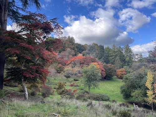
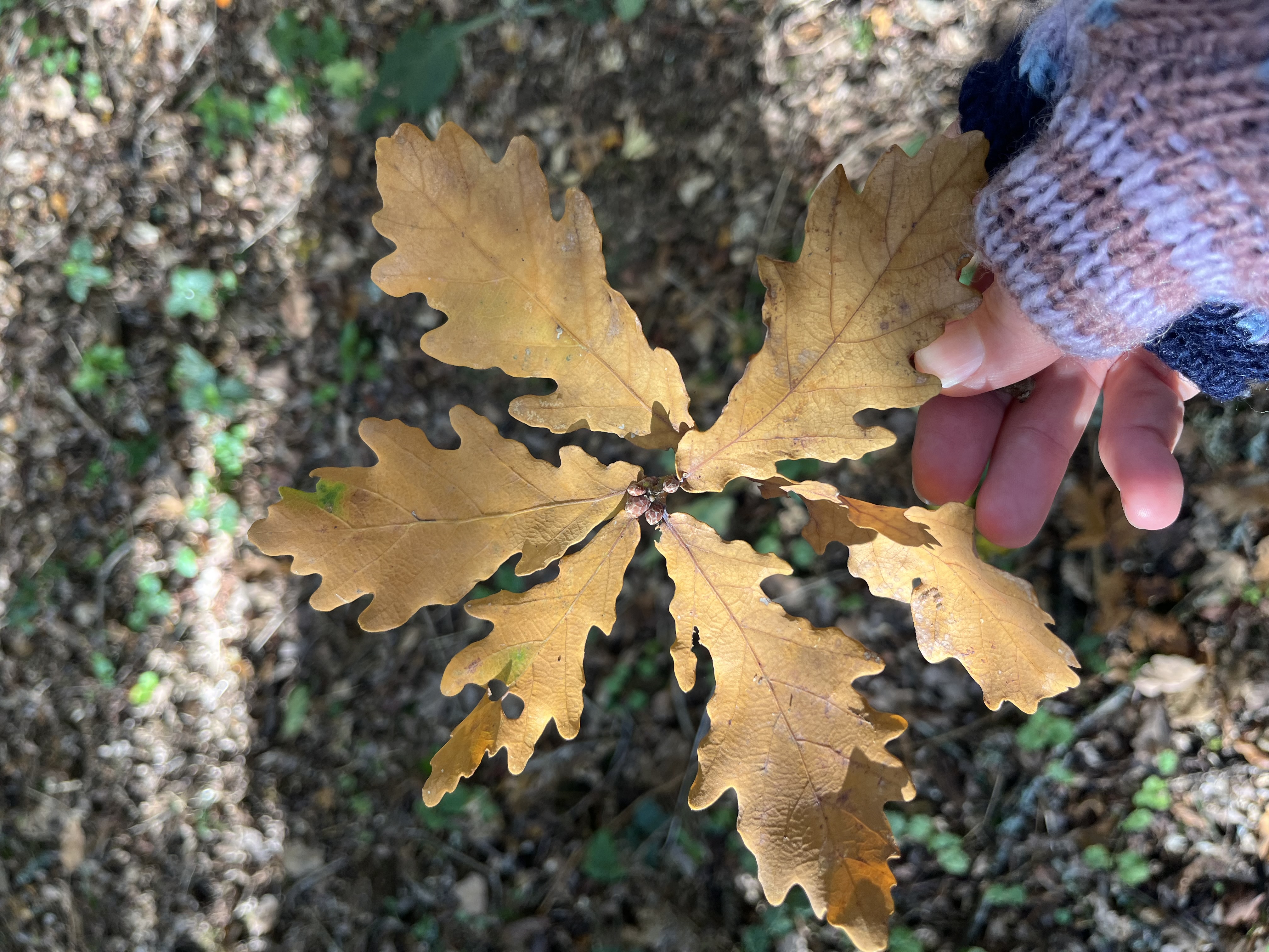
Frankly, unless you’re asked, it’s just road colour.I looked up and saw my weeping flowering cherry tree, and tried to describe the colour of its leaves to myself - lime for the majority, with darker patches and veins. I then let my gaze settle on the other trees and plants - including the ivy trying to climb down the wall, which I’ll need to cut back someday soon - and got to 8 or 9 different shades before realising I lacked the vocabulary to describe any of them reliably.
So many indescribable (by me) shades of green.
-
Longer cars will lead to fewer on-street parking spaces
Via Dense Discovery #396 with the 14% link going here
I asked Claude for a fact-check:
Verdict: the figures check out as a fair summary of the T&E/Clean Cities “carspreading” report (published this past couple of weeks), though it collapses a range into a single “14%” headline number.
I enjoyed the term “carspreading”!
The report says:
The average length of newly sold cars is increasing by 1.2 cm every year, according to the report which analysed vehicle growth since the year 2000. Their total height is rising by 0.5 cm annually, the study also finds. Earlier studies showed that new cars also grow 0.5 cm wider each year, on average, while their bonnet heights increase by 0.5 cm annually.
Finding a car that fits our parking space comfortably is already a challenge. This will make it all the harder.