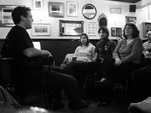
Last night was another Sussex Geek Dinner at the Black Horse in Brighton. Mikel Maron gave a very interesting and informative talk about OpenStreetMap. He covered the history, his involvement and, of course, Brighton's coverage. This is all of particular interest to me at the moment as I've just done my first snowboarding trip armed with a gps solution (although one with issues).Our gps solution is a mobile phone application paired via bluetooth with a Globalsat BT338 x-trac bluetooth GPS receiver. This works reasonably well, but we've had issues with a) the client software only working on one of four available mobile phones and b) the web solution maps not working very well on a mac. All that said, it does allow export to google earth and looking at our snowboard runs overlaid on satellite imagery is quite satisfying.